City and County Partners
Cities and counties can work with RCWD to improve and protect the watershed. By utilizing grants, promoting permit applications and programs, utilizing MS4 resources, and local water planning cities and counties within the RCWD can actively contribute to water quality improvement and stormwater management.

Fund Projects with RCWD Grant Programs
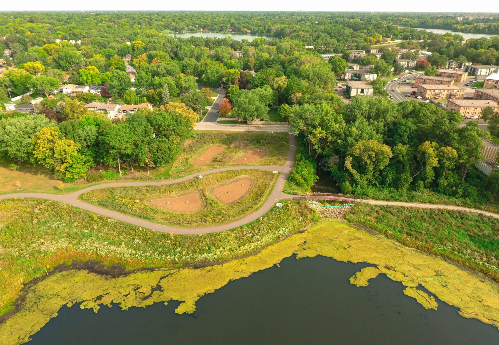
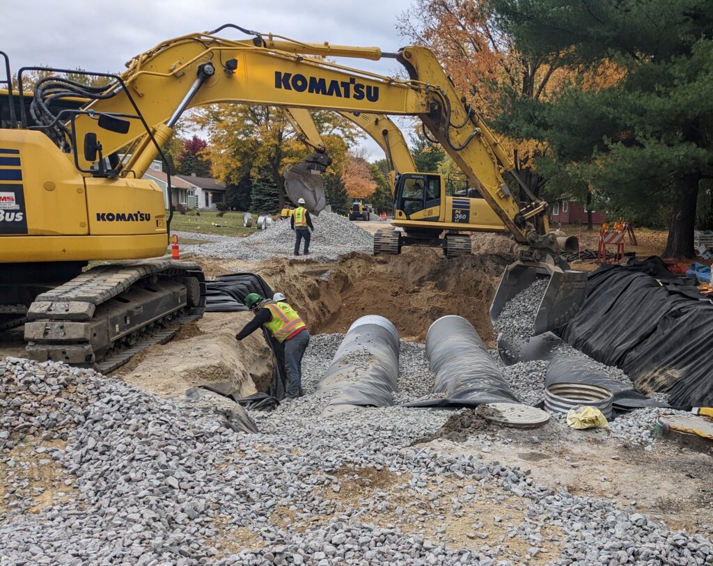
Cities and counties within RCWD can apply for the Stormwater Management Grant Program (SMGP) to support their stormwater management projects. This grant program aims to assist local governments in implementing practices that improve water quality and reduce stormwater runoff. The SMGP provides financial assistance for a wide range of projects, including rain gardens, permeable pavement, green roofs, and more. By applying for this grant, cities and counties can access funding and resources to implement effective stormwater management strategies, leading to healthier water resources and a more sustainable community.
Follow and Promote RCWD Rules and Permit Requirements
Cities and counties have a crucial role in increasing awareness about permitting and RCWD rules to ensure compliance and protect the watershed. By distributing information through various channels such as official websites, newsletters, and community outreach programs, local governments can educate residents, businesses, and property owners about the importance of obtaining permits for construction, land use changes, or other activities that may impact water quality.
By increasing awareness and promoting compliance, cities and counties contribute to the overall health and sustainability of the watershed, fostering a collective responsibility for protecting and preserving this vital natural resource.
For more information on permitting and Rice Creek Watershed District rules, visit the Permit page
MS4 Support
RCWD has many resources for our partners that are MS4 permit holders. Visit our MS4 page to learn more.
Trainings and Workshops
RCWD occasionally offers FREE training for city staff, community organizations and business employees about topics including, but not limited to, summer turfgrass maintenance, winter road salt maintenance, and rain garden installation and maintenance.
Check out our Events page for upcoming opportunities.
Local Water Planning Assistance
Minnesota requires cities to create comprehensive plans for their communities. Local water management plans are a chapter of a city’s comprehensive plan and provide details on how cities protect and improve surface water resources, manage stormwater, and reduce flooding.
RCWD assists cities during the writing process of their local water management plans. The District also reviews and approves these plans. RCWD provides a Local Water Plan Checklist to cities that are creating their local water management plans and offers to meet with staff throughout the process.
Other resources include LiDAR Data and Other Modeling Tools. The RCWD Watershed Management Plan can also be helpful during the planning process.
Contact RCWD staff if interested in local water management plans, the planning process, or RCWD resources and support.
LiDAR Data & Other Modeling Tools
RCWD has Light Detection and Ranging (LiDAR) topographical data (high-resolution digital elevation) available. This information will be used by the RCWD to support hydrologic and hydraulic modeling, aid in permit reviews, and as a general resource management tool.
To obtain LiDAR data from RCWD, fill out the following forms License Agreement and LiDAR Request. A signed license agreement is required to obtain LiDAR data.
Send completed LiDAR request forms (mail or email) to:
Rice Creek Watershed District
Attn: Theresa Stasica
4325 Pheasant Ridge Drive NE #611
Blaine, MN 55449-4539
tstasica@ricecreek.org
Available products include:
- Hybrid Images
Created from LiDAR intensity and hillshade data. Pixel size is 1-meter. Distributed as a TIFF or ESRI Grid. - Digital Elevation Model (DEM)
Created from “bare earth” LiDAR point data. Cell size is 3 meters (10 feet). - 2-Foot Contours
Created from “bare earth” LiDAR data. Distributed only as ESRI shapefiles. - Raw .LAS files
LiDAR point returns for all classes, including bare earth, trees, buildings, and bridges. - Bare Earth .LAS Files
LiDAR point returns with non-bare earth points removed.
Other data and models available. License agreement is required.
- Geospatial (GIS) Data
- Hydrology, Hydraulics and Water Quality Models and Data
- Survey Geodatabase
- RCWD Public Data Viewer
Newsletter and Social Media Submissions
RCWD plays an essential role in contributing to city and county newsletters and/or social media outlets by providing valuable information about upcoming district projects, ditch projects, and other water quality-related updates within their communities. Through their active involvement, the district ensures that residents stay informed about important initiatives aimed at improving water resources and protecting the local environment.
Contact Communications and Outreach staff to request a submission from the RCWD for your communications.
Contact
If you have questions about local water planning, please contact:

